Linkedin Learning Creating Maps with R XQZT
Posted on 26 Sep 08:23 | by AD-TEAM | 10 views
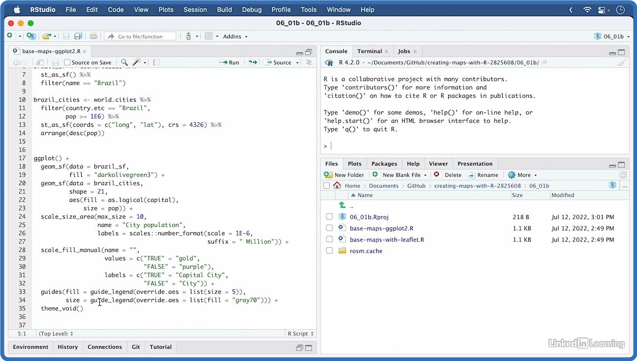
Linkedin.Learning.Creating.Maps.with.R
Language: English
Files Type:sfv, nfo, mkv| Size:501.52 MB
Video:02:31:48 | 1280X720 | 393 Kbps
Audio:A_AAC-2 | 127 Kbps | AAC
Genre:eLearning
Videos Files :
01.01 why create maps with r.mkv (4.97 MB)
01.02 base knowledge.mkv (3.41 MB)
01.03 github repository and exercise files.mkv (4.35 MB)
02.01 how to choose a map.mkv (20.57 MB)
02.02 geo marker and scatter plots.mkv (10.7 MB)
02.03 geo bubble charts.mkv (7.64 MB)
02.04 choropleth shaded area maps.mkv (7.69 MB)
02.05 hexbin maps or hexagonally binned choropleth.mkv (10.18 MB)
02.06 dot density.mkv (10.86 MB)
02.07 cartograms distorted area maps.mkv (5.04 MB)
03.01 standardize country names with countrycode.mkv (3.16 MB)
03.02 join shapefiles with data in excel files.mkv (15.92 MB)
03.03 convert addresses to coordinates with geocoding.mkv (22.44 MB)
03.04 challenge geolocate all us state capitol buildings.mkv (3.04 MB)
03.05 solution geolocate all us state capitol buildings.mkv (11.14 MB)
04.01 gis data formats raster or vector.mkv (8.81 MB)
04.02 vector gis data sf and sp.mkv (3.13 MB)
04.03 work with sf datasets and the tidyverse.mkv (12.9 MB)
04.04 challenge visualizing continent populations.mkv (1.88 MB)
04.05 solution visualizing continent populations.mkv (9.28 MB)
05.01 use geom sf to visualize geo locations.mkv (16.48 MB)
05.02 ggplot2 choropleth and continuous data.mkv (23.11 MB)
05.03 ggplot2 choropleth and discrete data.mkv (19.93 MB)
05.04 label maps with ggrepel package.mkv (17.12 MB)
05.05 zoom into regions with coords sf().mkv (11.03 MB)
05.06 transform crs with coord sf().mkv (7.24 MB)
05.07 challenge label a geobubble chart of germanys biggest cities.mkv (1.76 MB)
05.08 solution label a geobubble chart of germanys biggest cities.mkv (14.5 MB)
05.09 challenge visualize state coastline length with choropleth.mkv (1.73 MB)
05.10 solution visualize state coastline length with choropleth.mkv (13.32 MB)
06.01 the basics of using leaflet.mkv (11.95 MB)
06.02 use leaflet to visualize geo locations.mkv (18.36 MB)
06.03 add labels and pop ups to leaflet maps.mkv (16.25 MB)
06.04 leaflet choropleth and continuous data.mkv (21.63 MB)
06.05 leaflet choropleth and discontinuous data.mkv (20.69 MB)
06.06 set a background color with leaflet.extras.mkv (5.07 MB)
06.07 challenge add pop up labels to a map of german cities.mkv (1.82 MB)
06.08 solution add pop up labels to a map of german cities.mkv (20.46 MB)
06.09 challenge interactive choropleth of state coastline length.mkv (2.13 MB)
06.10 solution interactive choropleth of state coastline length.mkv (22.75 MB)
07.01 base maps and tiles.mkv (23.56 MB)
07.02 what are projections and crs.mkv (7.9 MB)
07.03 geographics vs. projected crs.mkv (7.3 MB)
07.04 how to choose crs and use them with sf.mkv (15.63 MB)
08.01 what else can you learn about creating maps in r.mkv (2.68 MB)
Related News
System Comment
Information
 Users of Visitor are not allowed to comment this publication.
Facebook Comment
Member Area
Top News
